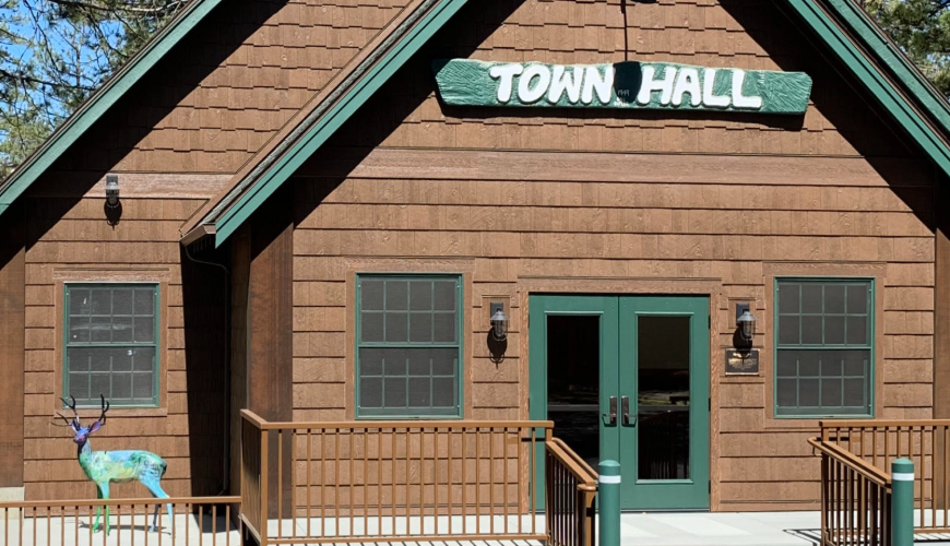
Skip to content
Idyllwild Life Magazine
  • Home
  • About Us
  • Contact Us
  • Blog
  • Home
  • About Us
  • Contact Us
  • Blog
Home
/
Idyllwilds Town Hall

Category: Idyllwilds Town Hall

idyllwild town hall
Idyllwilds Town Hall

Idyllwild’s Town Hall

August 9, 20210 comments
Revitalizing the Past for Our Future by Stephanie Yost Following WWII, Idyllwild (like much of Southern California) experienced tremendous growth. For Idyllwild, this meant an…
Facebook
Twitter
Google+
LinkedIn
Pinterest
More...
Idyllwild Life Magazine 2019

A Month of Shadow Pass – Poetry

A Month of Shadows Pass

Recent Posts

  • A Month of Shadows Pass
  • Map of Trails Around Idyllwild
  • Women of the White Buffalo
  • Pacific Crest Trail Hikers
  • Hiking A Winter Wonderland in Idyllwild

Categories

  • Gardening
  • Hiking
  • Idyllwilds Town Hall
  • Map of Trails Around Idyllwild
  • Native American Women
  • Nature
  • Poetry
  • Rewilding the Spirit
  • Winter Season

Where to Get Permits

Where to Get Permits For Hiking

There are no fees for permits. Permits cover up to 12 people in a group. A day-hike permit is not needed if you already have an overnight permit.

U.S. Forest Service

54270 Pine Crest Ave. (at Hwy. 243), (909) 382-2921 (voice)
(951) 659-5748 (TTY)

Mt. San Jacinto State Park
25905 Highway 243, Idyllwild
(951) 659-2607

Map of Trails Around Idyllwild

Pacific Crest National Scenic Trail

One-way distance = 38 miles; Elevation gain in feet = 4,000 • Strenuous • Forest Service Permit Required • Dogs: check with local Ranger Station • Highway 74, 1 mile east of Highway 371 to Fuller Ridge Trail at Black Mountain Road

Ernie Maxwell Scenic Trail

One-way distance = 2.6 miles • Easy • Dogs on leash OK •  Humber Park to Tahquitz View Drive

Fuller Ridge Trail

One-way distance = 7.5 miles; Elevation gain in feet = 3,000 • Strenuous • Forest Service or State Park Permit Required • Black Mountain Road off Highway 243 to San Jacinto Peak

Seven Pines Trail

One-way distance = 4 miles; Elevation gain in feet = 2,600 • Moderate • Forest Service or State Park Permit Required • Dark Canyon Road off Highway 243 to Deer Springs

Marion Mountain Trail

One-way distance = 5.9 miles; Elevation gain in feet = 4,400 • Strenuous • Forest Service or State Park Permit Required • Fern Basin Road off Highway 243 to San Jacinto Peak

Devil’s Slide Trail

One-way distance = 2.5 miles; Elevation gain in feet = 1,700 • Moderate • Forest Service Permit Required • Dogs on leash OK • Humber Park to Saddle Junction

Deer Springs Trail

One-way distance = 3.3 miles; Elevation gain in feet = 1,700 • Moderate • Forest Service Permit Required • Highway 243, 1 mile north of Idyllwild to Suicide Rock

Categories
  • Gardening
  • Hiking
  • Idyllwilds Town Hall
  • Map of Trails Around Idyllwild
  • Native American Women
  • Nature
  • Poetry
  • Rewilding the Spirit
  • Winter Season
Idyllwild Life Magazine
Copyright 2021 Idyllwild Life Magazine All Rights Reserved
  • Home
  • About Us
  • Contact Us
  • Blog
  • Home
  • About Us
  • Contact Us
  • Blog